The world’s largest rivers, such as the Amazon, Ganges, and Congo, are defined by their massive water discharge. These rivers not only shape the landscapes they flow through but also provide essential resources like drinking water, transportation routes, and support diverse ecosystems critical for global biodiversity.
The drainage area varies based on the river’s topography; if the land is flat, the river covers a larger area. The Amazon is the world’s largest river, with an average water discharge of approximately 209,000 cubic meters per second. However, it is far from being the second-largest river. From space, the world’s largest rivers, including the Amazon, Ganges, and others, are visible. The size of the world’s largest rivers is determined by their average discharge in cubic meters per second.
1. Amazon River
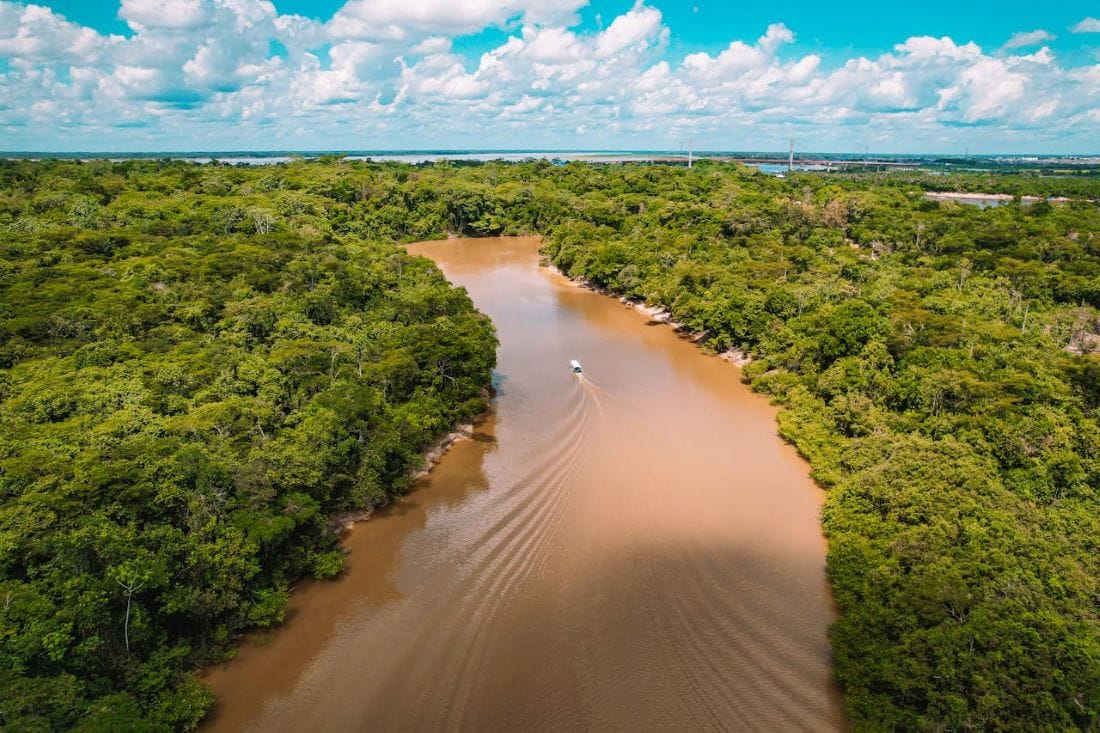
The Amazon is the world’s biggest river; its flow exceeds that of the next seven greatest rivers combined, with the exception of Madeira and the Rio Negro, which are tributaries of the Amazon. The Amazon River has the world’s biggest drainage basin, covering an area of 7,050,000 square kilometers and containing one-fifth of the world’s total river flow.
The Amazon is also the world’s second-longest river, after the Nile. However, numerous studies claim that the Amazon is the world’s longest river. That is, after all, a source of concern. The Amazon River’s average discharge is around 209,000 cubic meters per second, making it the world’s biggest river. The Amazon River empties into the Atlantic Ocean.
Discharge(Avg): 209,000 m3/s (Cubic meter per second)
Find on Map
2. Ganges
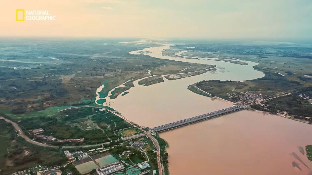
The Ganges is the greatest river in India and the second largest in the world, formed by ice melt and several tributary rivers. Originating in the Western Himalayas of India, it has an average discharge of about 42,470 cubic meters per second.
The river flows into the Bay of Bengal, with a drainage basin covering 1,635,000 square kilometers. The Ganges holds immense cultural, spiritual, and economic significance for millions of people in India and Bangladesh. It provides water for drinking, agriculture, and industry, while also serving as a major transportation route. Despite pollution challenges, the Ganges remains an essential lifeline for the region’s biodiversity and economy.
Discharge(Avg): 42,470 m3/s
Find on Map
3. Congo
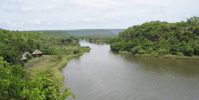
The Congo River is Africa’s longest and deepest river; it ranks as the world’s ninth in length and third in discharge. Having an average discharge of 41,000 cubic meters per second and a vast drainage basin of 3.82 million square kilometers, it has significant importance to Central Africa’s ecosystems.
The source of this river is situated in East Africa’s highlands and flows through dense rainforests, supplying water resources for millions. The basin has also hosted diverse wildlife species: including the rare bonobo and Congo crocodile. The river is also essential in transportation, connecting more trade and commerce. A very important part of the regional economic system and connectivity.
Discharge(Avg): 41,000 m3/s
Find on Map
4. Orinoco
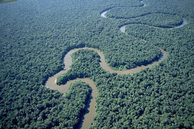
The Orinoco is the world’s fourth-biggest river and one of the longest in South America, draining an area of 880,000 square kilometers and boasting an average flow of 33,000 cubic meters per second before merging into the Atlantic Ocean.
This mighty river is a vital transportation route, facilitating trade and movement in the region. It supports diverse wildlife, including unique species like the Orinoco crocodile, river dolphins, and piranhas. The river’s rich ecosystems host a variety of bird species, such as the Scarlet Ibis. Its expansive wetlands, forests, and savannas are crucial for biodiversity and environmental health in the region.
Discharge (Avg): 33,000 m3/s
Find on Map
5. Yangtze
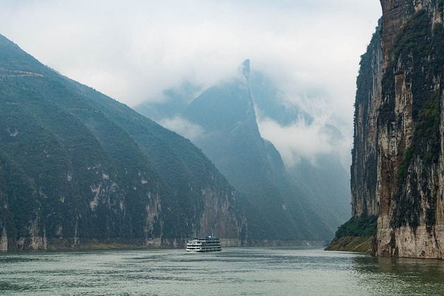
The Yangtze is Asia’s longest river and one of the world’s greatest, boasting a discharge rate of around 30,166 cubic meters per second and a drainage basin of approximately 1,940,000 square kilometers. It flows into the East China Sea.
The Yangtze supports a diverse range of species, including the critically endangered Yangtze River dolphin and Chinese alligator. It is a vital transportation artery, facilitating the movement of goods and people across China. Major cities like Shanghai and Wuhan are situated along its banks, benefiting from its navigability. The river plays a crucial role in China’s economy, culture, and ecosystem.
Discharge (Avg): 30,166 m3/s
Find on Map
6. Madiera
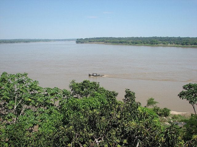
The Madeira River originates in Bolivia and flows into Brazil, where it becomes a significant tributary of the Amazon River. It has an average flow of 24,397 cubic meters per second and a drainage basin covering approximately 850,000 square kilometers.
Along its course, major cities like Porto Velho and Humaitá in Brazil benefit from its resources. The river is home to diverse fish species, including the tambaqui and the electric eel. Historically, the Madeira River has played a crucial role in regional trade and transportation. Its rich biodiversity and strategic importance make it a vital waterway in South America.
Discharge (Avg): 31,200 m3/s
Find on Map
7. Rio Negro
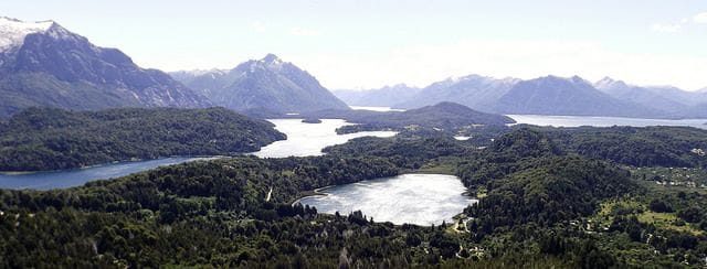
The Rio Negro is an Amazon River major tributary flowing from Colombia into the Amazon basin. It holds average discharge of 28,000 cubic meters per second and covers a large area of 691,000 square kilometers in its drainage basin. The river ecosystem sustains various species. It is the blackest river in the world
Many unique fish species and multiple bird species are associated with this river. It is an important waterway for transportation and trade; it passes by the city of Manaus, Brazil. The Rio Negro supports local economic activities such as fishing, agriculture, and tourism through its access to the rich biodiversity of the Amazon.
Discharge (Avg): 28,000 m3/s
Find on Map
8. Parana
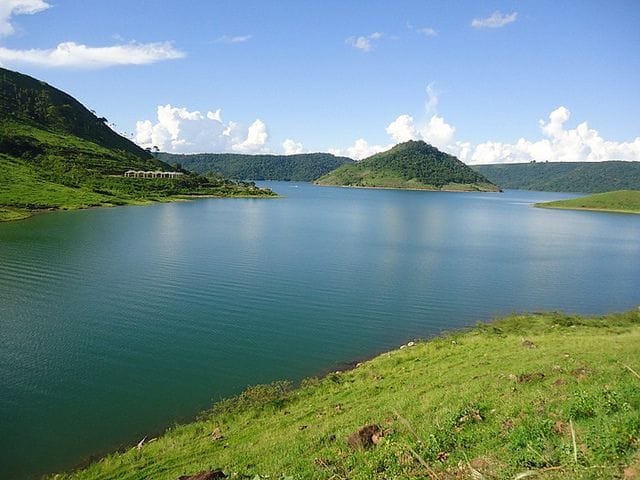
The Parana River, stretching 4,880 kilometers, is the second-longest river in South America after the Amazon. Flowing through Argentina, Brazil, and Paraguay, it originates in the Brazilian highlands.
The river has a drainage basin of 2,582,600 square kilometers and an average discharge of 25,700 cubic meters per second, emptying into the Atlantic Ocean. The Parana is rich in biodiversity, home to rare species such as the giant river otter and the endangered freshwater dolphin. Major cities like Buenos Aires and Rosario lie along its banks, making it crucial for trade, transportation, and the regional economy, particularly in agriculture and fishing.
Discharge (Avg): 28,000 m3/s
Find on Map
9. Brahmaputra
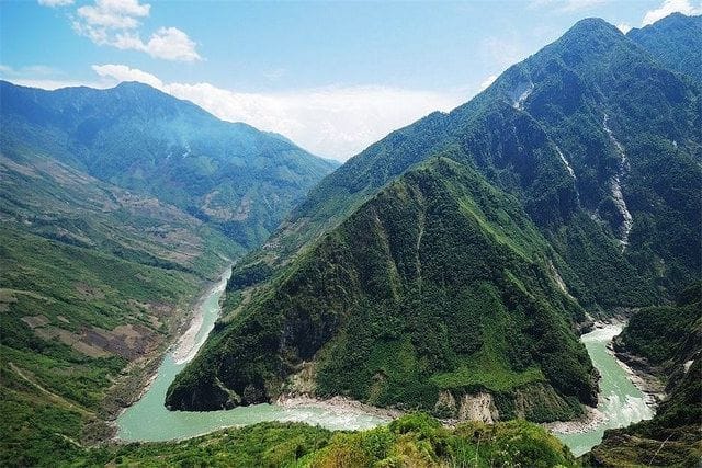
The Brahmaputra River sources from Tibet and flows along China, India, and Bangladesh before finally draining into the Ganges-Brahmaputra delta in Bangladesh. It flows over a distance of 2,900 kilometers. Having a drainage basin size of 651,000 square kilometers and an average flow of 19,300 cubic meters per second, it combines with the Padma River afterwards. The river passes through two major cities, namely Guwahati in India and Dhaka in Bangladesh. The river breeds many different species of fishes including the Hilsa as well as the Bengal Loach.
Historically, the Brahmaputra has been an essential waterway for trade and transportation, shaping the economies of the regions it traverses. It is also a tourism destination, offering activities like river cruises and spotting wildlife, particularly in Kaziranga National Park, home to the one-horned rhinoceros. The river’s ecosystem plays a vital role in supporting the livelihoods of millions of people living in its basin, making it one of the most important rivers in South Asia.
Discharge (Avg): 19,300 m3/s
Find on Map
10. Yenisei
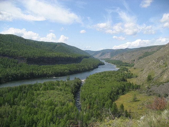
The Yenisei River, originating in Mongolia, flows through Russia and has several tributaries. With a discharge rate of 18,040 cubic meters per second and a drainage basin covering around 2,580,000 square kilometers, it eventually empties into the Kara Sea. Major cities along its course include Krasnoyarsk and Divnogorsk. The river is home to various fish species like sturgeon and Siberian taimen. Historically, the Yenisei has been vital for trade and transportation, linking remote regions.
The river’s picturesque landscapes and rich biodiversity attract tourists, especially to the Stolby Nature Reserve. Flowing through regions with diverse ecosystems, the Yenisei supports numerous species and is integral to local economies. Its vast drainage basin plays a crucial role in the environmental and economic landscape of Central and Northern Asia.


