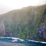
The mountains can be visited in Austria during any season, and its mountains are the most famous tourist spot. Some popular activities in these regions by locals and international tourists in the alpine region area include skiing, hiking, and climbing.
There are several peaks in the country that are over 2,000 meters high, especially in the Eastern Alps. The Grossglockner is the tallest peak in the country, at 3,798 meters, and it belongs to the Hohe Tauern range. Other important summits include Grossvenediger, which formed Austria’s alpine identity, at 3,662 meters.
1. Grossglockner (3,798 m)
The Grossglockner, Austria’s highest mountain, stands at an impressive 3,798 meters and is located between the regions of Carinthia and East Tyrol. Its summit features two pinnacles: the Grossglockner, the tallest, and the Kleinglockner. The Grossglockner High Alpine Road, a renowned tourist route, winds its way to the towns at the mountain’s base, offering breathtaking panoramic views of the surrounding peaks and valleys. Additionally, the Pasterze Glacier, Austria’s largest glacier, lies at the foot of the Grossglockner.
Elevation: 2,423 m (7,949 ft)
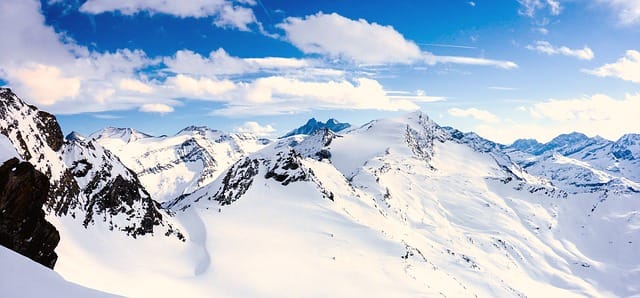
2. Wildspitze (3,770 m)
The second highest peak in Austria, as well as the highest in the Otztal Alps, is located in North Tyrol, Austria. Leander Klotz and a fellow local farmer were the first to ascend the peak in 1848. Ascending the peak is hard for beginners because it is covered in ice and glaciers on all sides. The months of July, August, and September are ideal for climbing the peak. At the summit, there are two pinnacles, or summits, measuring 3768 metres and 3770 metres, respectively. It is a highly glaciated mountain.
Elevation: 2,261 m (7,418 ft)
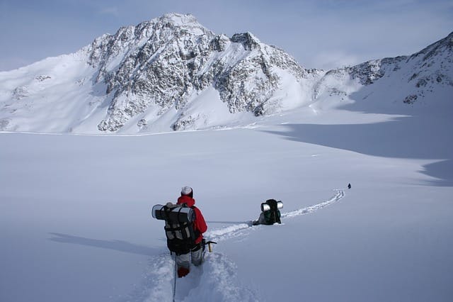
3. Weisskugel (3,739 m)
Weisskugel (Weißkugel), also called Palla Bianca (an Italian word), is the third highest mountain in Austria, and the second in the Otztal Alps. The mountain is located on the border between Tyrol in Austria and South Tyrol in Italy. Weisskugel is first climbed in 1845, the easiest way to climb over the south ridge. In short, the mountains are good to climb in the summer season from July to September. Camping for climbers is possible in the Melag Valley and other valleys.
Elevation: 565 m (1,854 ft)
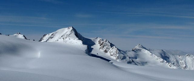
4. Glocknerwand (3,721 m)
Weisskugel, also known as Palla Bianca (an Italian term), is Austria’s third highest peak and the second highest in the Otztal Alps. The mountain forms the border between Austrian Tyrol and Italian South Tyrol. The simplest method to ascend the south ridge, Weisskugel, was first climbed in 1845. In a nutshell, the mountains are best climbed during the summer months of July through September. Climbers can camp in the Melag Valley and other nearby valleys.
Elevation: 125 m (410 ft)
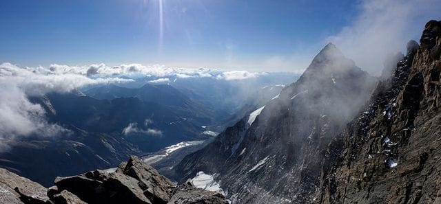
5. Grossvenediger (3,662 m)
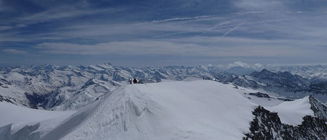
Grossvenediger is a mountain in Salzburg and East Tyrol, Austria, that lies nearly at the heart of the Venediger Group. The peak, which is covered with glaciers, is easily reached on foot. When summer arrives, the ice on the mountain will begin to melt. The first ascent of the peak took place in 1941. Several mountain huts have been constructed, making it simpler to remain overnight. Climbing is best from July to September, and skiing is best from March to May.
Elevation: 1,185 m (3,888 ft)
| Rank | Highest Mountains | Height(Sea Level) | Coordinates |
|---|---|---|---|
| 1 | Grossglockner | 3798 metres | 47°04′27″N 12°41′40″E |
| 2 | Wildspitze | 3770 metres | 46°53′07″N 10°52′02″E |
| 3 | Weisskugel | 3739 metres | 46°47′52″N 10°43′35″E |
| 4 | Glocknerwand | 3721 metres | 47°04′45″N 12°41′12″E |
| 5 | Grossvenediger | 3662 metres | 47°06′33″N 12°20′47″E |
| 6 | Hinterer Brochkogel | 3635 metres | 46°46′24″N 10°54′53″E |
| 7 | Hintere Schwarze | 3628 metres | 46°53′10″N 10°50′59″E |
| 8 | Similaun | 3599 metres | 46°45′49″N 10°52′51″E |
| 9 | Vorderer Brochkogel | 3565 metres | 46°52′29″N 10°51′03″E |
| 10 | Grosses Wiesbachhorn | 3564 metres | 47°09′23″N 12°45′19″E |
| 11 | Rainerhorn | 3559 metres | 47°06′03″N 12°21′51″E |
| 12 | Grosser Ramolkogel | 3550 metres | 46°50′48″N 10°57′32″E |
| 13 | Schalfkogel | 3540 metres | 46°48′06″N 10°57′33″E |
| 14 | Hochvernagtspitze | 3535 metres | 46°52′53″N 10°47′46″E |
| 15 | Watzespitze | 3533 metres | 46°59′22″N 10°47′44″E |
| 16 | Langtauferer Spitze | 3529 metres | 46°48′17″N 10°44′45″E |
| 17 | Mutmalspitze | 3528 metres | 46°46′59″N 10°54′28″E |
| 18 | Weisseespitze | 3518 metres | 46°50′48″N 10°43′02″E |
| 19 | Fineilspitze | 3514 metres | 46°46′49″N 10°49′55″E |
| 20 | Hochfeiler | 3510 metres | 46°58′20″N 11°43′40″E |
Mountains form the nucleus of its culture, economy, and natural environment in Austria. An alpine zone is home to some biodiversity hot spots and contains high-altitude unique flora and fauna as well. Furthermore, Alpine zones provide critical hydroelectric power to produce renewable power.
Austria’s mountain tourism helps the local communities in winter resorts, hiking trails, and climbing. The mountains are a source of adventure and represent natural beauty, and many people visit them every year.


